01 // Geodesy

Geodetic services

We carry out all kinds of geodetic work — from parcel setting out and topographic plans to drone surveys and orthophoto maps. Free consultation on details and pricing.

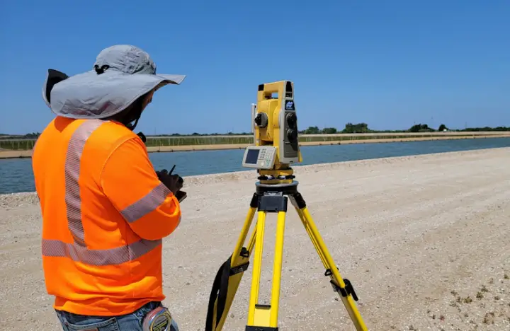
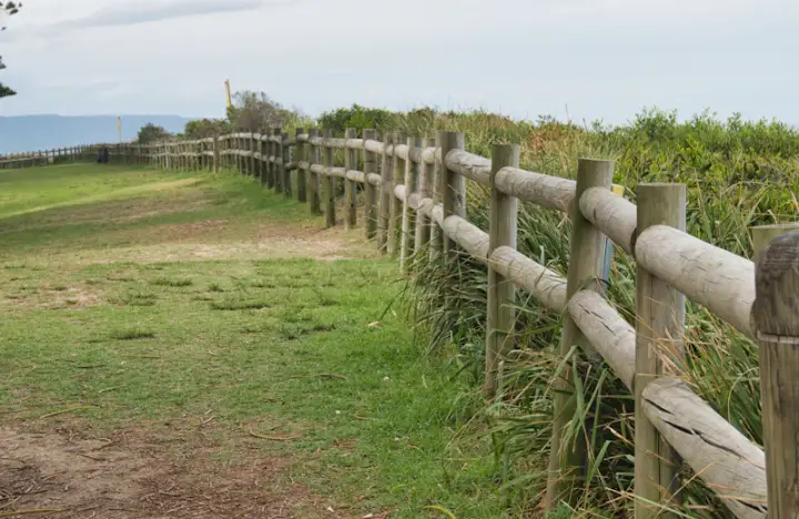
01 Setting out

Setting out

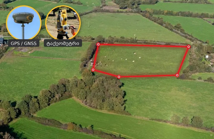
Staking parcel boundaries and building outlines on site with GPS and a total station.

Order
02 Topographic plan

Topographic plan

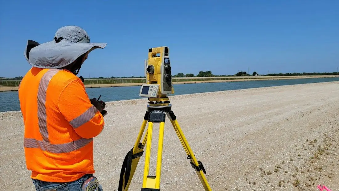
Topographic surveys at 1:500 – 1:2000 scale for design and construction.

Order
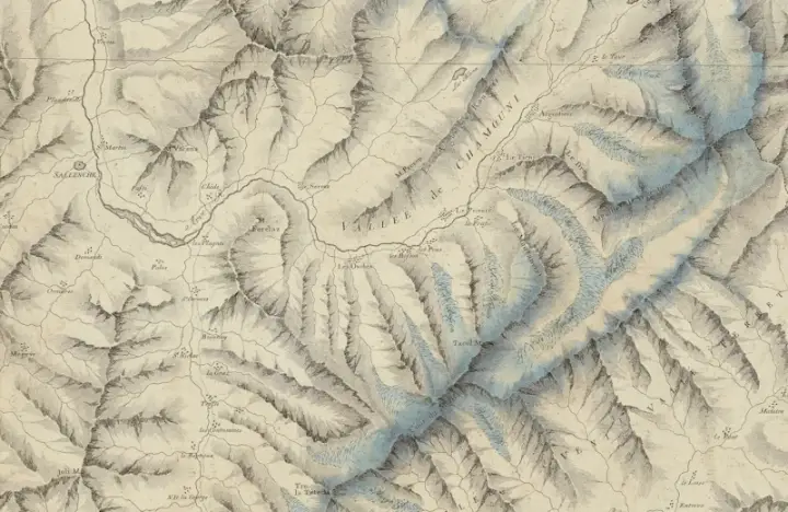
03 Aerial photography

Aerial photography

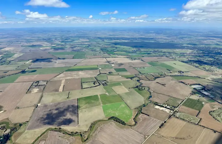
High-resolution aerial imaging of large areas.

Order
04 Land surveying

Land surveying

Accurate parcel measurement, area and boundary determination.

Order
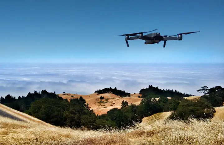
05 Drone topography

Drone topography

Fast surveying of difficult and inaccessible terrain by drone.

Order
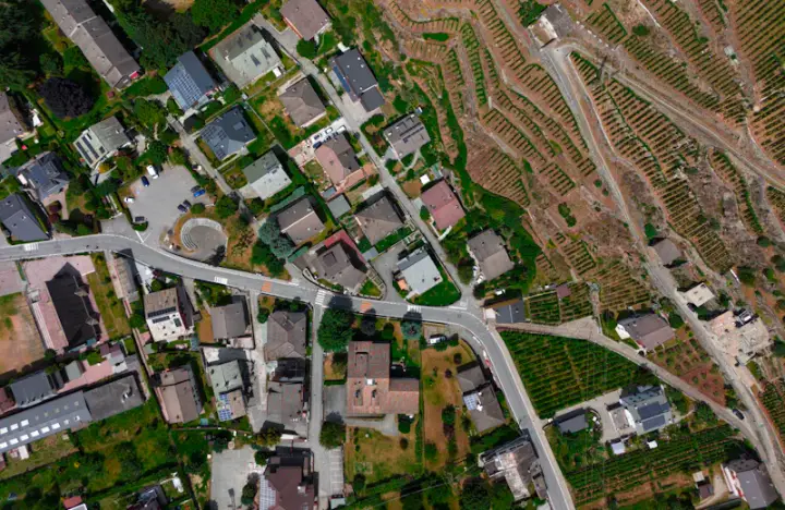
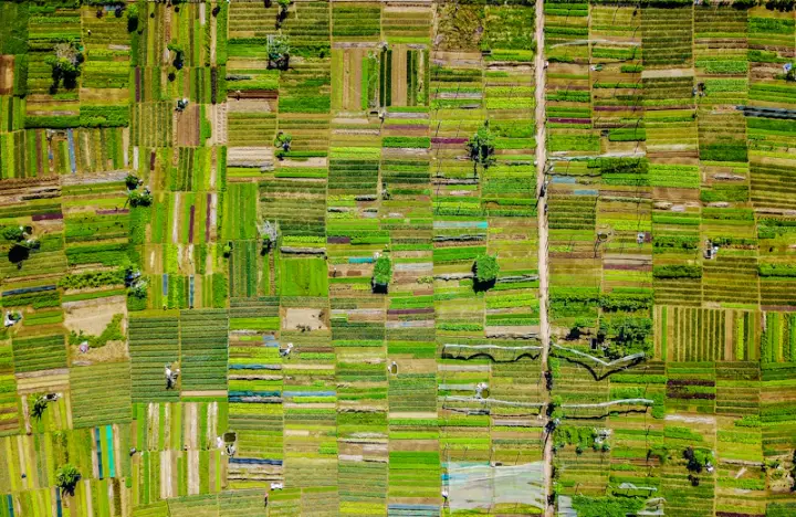
06 Orthophoto

Orthophoto

Georeferenced, distortion-free rectified photo maps.

Order
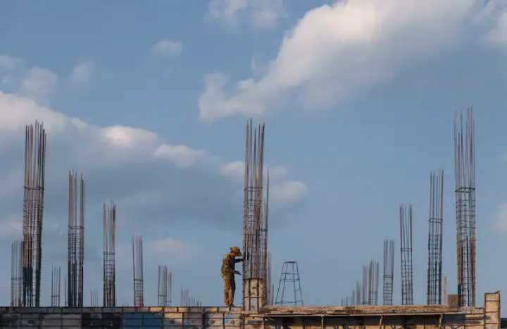
07 Column setting out

Column setting out

Precise layout of building axes and columns on the construction site.

Order
08 Parcel merger drawing

Parcel merger drawing

Merging adjacent parcels into a single cadastral unit.

Order
09 Parcel division drawing

Parcel division drawing

Dividing one parcel into several independent parcels.

Order
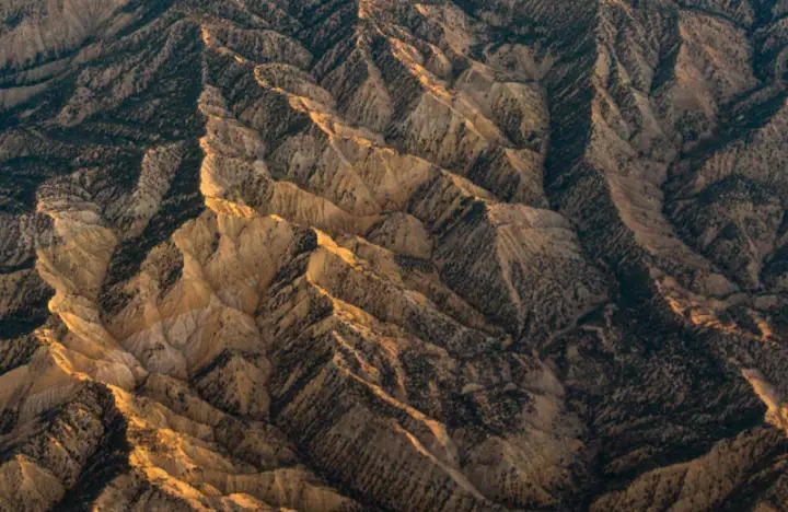
10 Terrain modelling

Terrain modelling

Digital 3D terrain model, cross-sections and earthwork volumes.

Order
  • Centimetre accuracy

    Modern GNSS receivers, total stations and drones.

  • Registry standard

    Drawings accepted by the Public Registry the first time.

  • Fast delivery

    We strictly keep agreed deadlines.

  • Free consultation

    We tell you what you need and what it costs.

Need geodetic or geological work done?

Call us — consultation and price estimate are free.